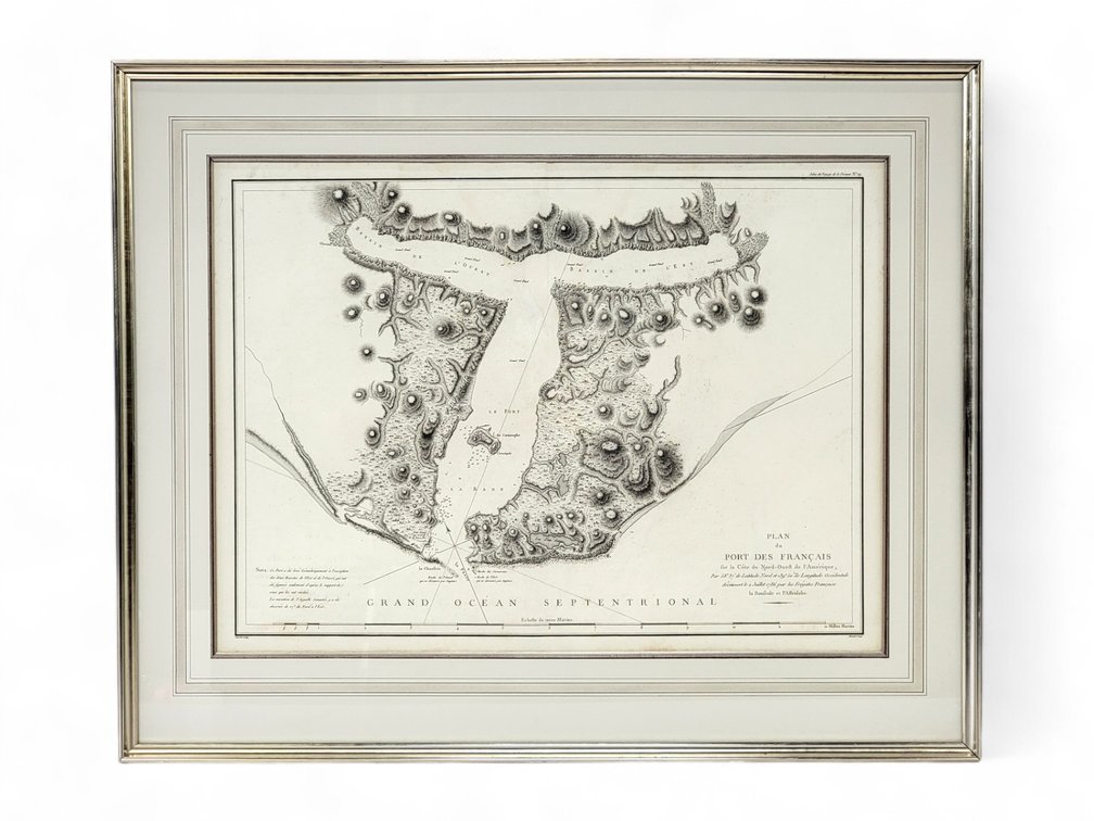
#21 • Early map of Port Francais (Lituya Bay) Alaska
Part of November 2024 Treasure Trove Auction (timed auction by Alaska Premier Auctions & Appraisals)
High bid $110.00
Status: Sold
Category: Alaskana
A copper-engraved map on hand-made paper depicting the West Coast of America, at 58°37′ North Latitude and 139° 50' West Longitude as discovered on July 2, 1786 by the French Frigates. La Perouse visited on 1886 July, and the inlet which La Perose named Port des Francais is now known as Lituya Bay. Matted and framed, it measures approximately 29.75" x 36.75" overall.