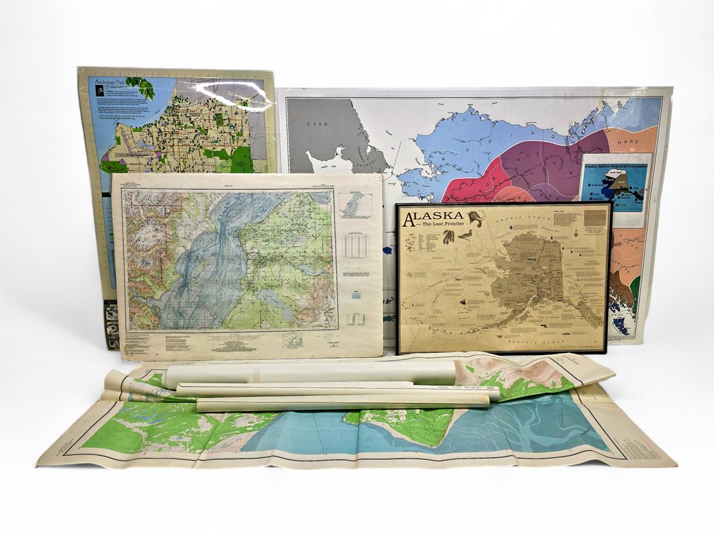
#349 • Alaska State Symbols Map, Anchorage Bowl Aerial Map & More
Part of May 2026 Discovery Auction (timed auction by Alaska Premier Auctions & Appraisals)
High bid $30.00
Status: SOLD
Category: Maps
Approximately eight Alaska state, city, and region maps, including a 1996 Alaska map made by Off-The-Wall Inc. featuring additional state symbols and fun facts, framed, accompanied by a Kenai National Wildlife Refuge geographical map, shrink-wrapped on board. Also includes a North Pacific Aerial Surveys photograph map of the Anchorage Bowl, plus a Husky Oil aerial photo map of Camp Lonely, and more, as photographed. The largest map measures approximately 56" x 44" overall.