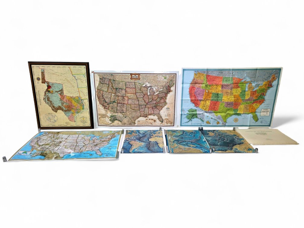
#392 • Political U.S. Maps, Commemorative Texas Map, Ocean Floor Maps & More
Part of May 2026 Discovery Auction (timed auction by Alaska Premier Auctions & Appraisals)
High bid $10.00
Status: SOLD
Category: Maps
Maps covering regions across North America, including a framed commemorative Republic of Texas map depicting the state circa 1845, accompanied by three political U.S. fifty-state maps made by National Geographic and Rand McNally. Also includes three bathymetric Atlantic, Indian, and Pacific Ocean floor maps, plus a railroad and county of Texas map, and more, as photographed. The framed commemorative map of Texas measures approximately 32" x 50" overall.