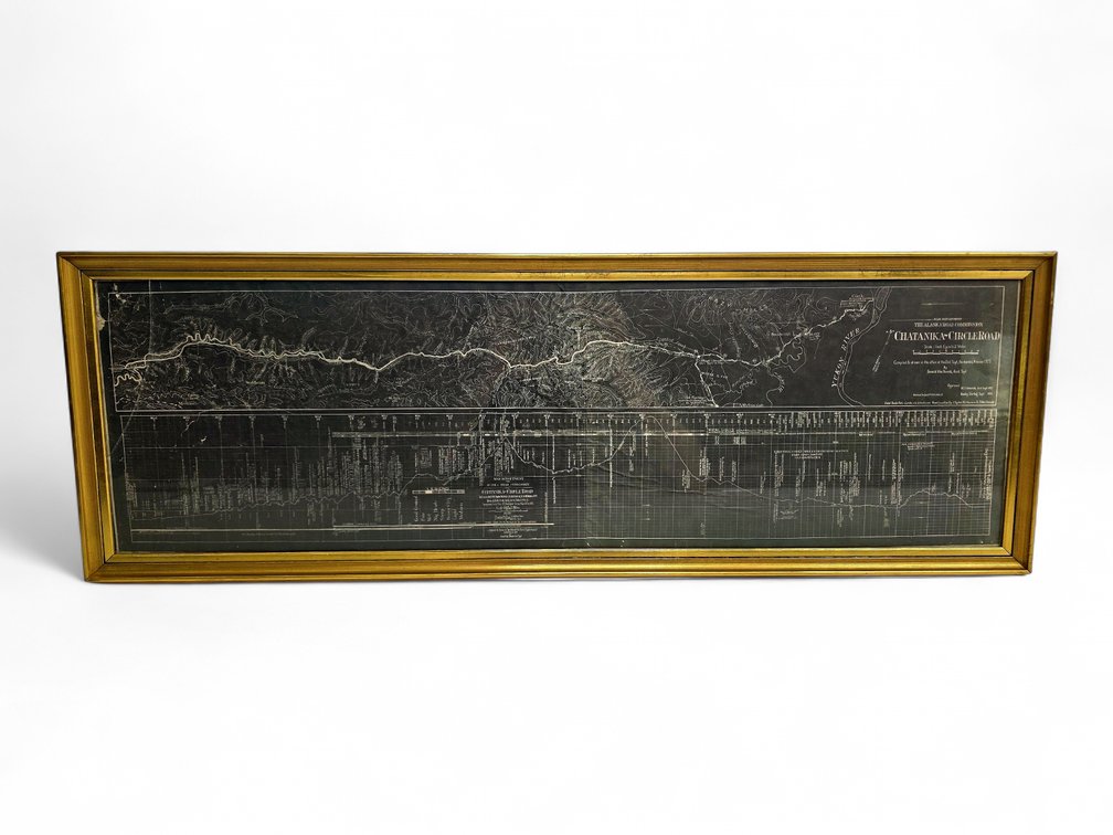
#502 • Chatanika-Circle Road Blueprint Survey Map by Donald MacDonald
Part of June 2026 Curiosities Auction (timed auction by Alaska Premier Auctions & Appraisals)
High bid $110.00
Status: SOLD
Category: Maps
A War Department Alaska Road Commission blueprint survey map and elevation profile of the Chatanika-Circle Road in Alaska in a 1" = 2 mi scale, compiled and drawn in the Fairbanks, Alaska, district office in 1925 by Donald MacDonald, a locating engineer who is renowned for proposing the route for the Alcan Alaska Highway. The panoramic display shows the road passing through the Yukon River basin with a grid profile chart on the lower half. The piece is framed, and there is a small crack on the upper right corner of the glass as photographed; it measures approximately 12.25" x 36.25" overall.