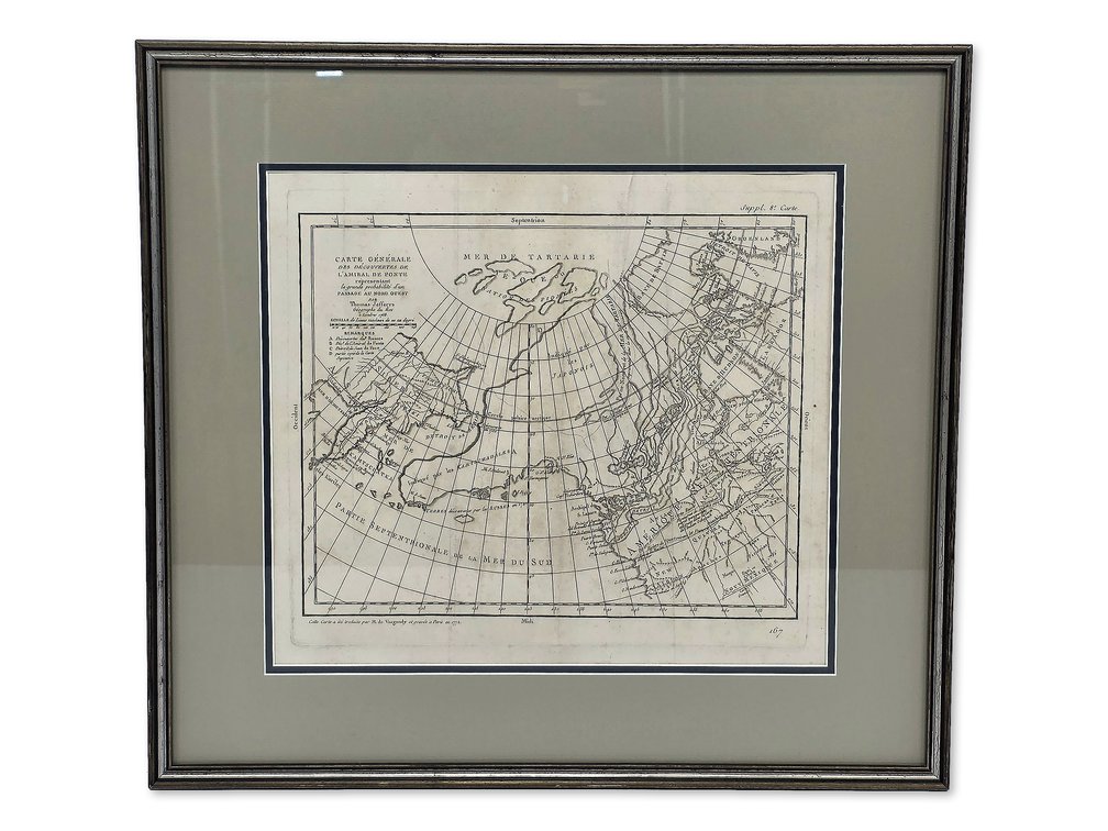
#281 • Didier Robert de Vaugondy Northwest Passage Map after Jefferys — 1772 Design
Part of Fall 2026 Premier Auction (live auction by Alaska Premier Auctions & Appraisals)
High bid $225.00
Status: SOLD
Category: Maps
A framed example of the 1772 map by French cartographer Didier Robert de Vaugondy (1723–1786), depicting the supposed discoveries of Admiral de Fonte and adapted from Thomas Jefferys’s 1768 design. Titled Carte Générale des Découvertes de l’Amiral de Fonte, it charts a speculative Northwest Passage across northern North America at a time when large parts of the region remained unknown to European mapmakers. The uncolored sheet is marked “Suppl. 8e Carte” at upper right and numbered 167 below. Asia occupies the left side and North America the right, with a sweeping grid of latitude and longitude lines crossing the North Pacific and Arctic. Invented waterways, islands and inland seas transform the largely unexplored northwest into a possible route toward Hudson Bay. A compact French title, distance scale and lettered remarks occupy the upper-left corner. Its fascination lies in that confident engraving of an uncertain world: speculative passages are given the same precise lines and geographical framework as known coastlines. Presented beneath glazing with an olive-toned mat and silver-colored frame. The sheet shows toning, scattered brown spots, intersecting fold creases and some waviness. It has not been examined outside the frame. The framed work measures approximately 21" × 22.75" overall, with a visible image measuring approximately 14" × 15.5". Robert de Vaugondy prepared the design for the cartographic supplement associated with Diderot’s Encyclopédie. Auction Estimate: $200–$300.