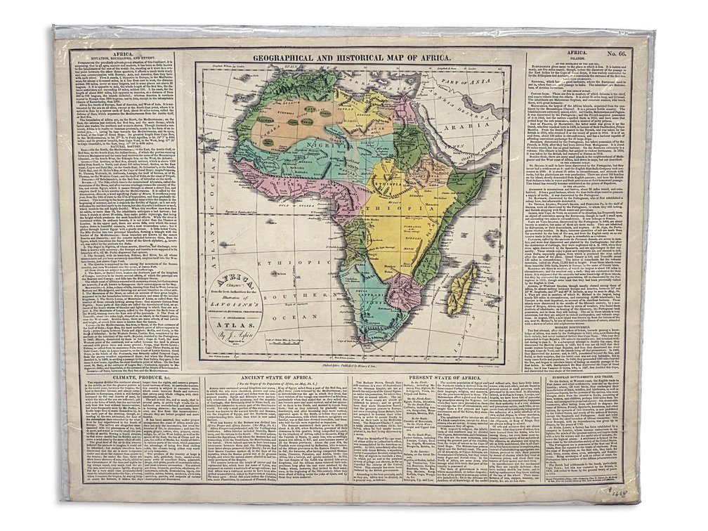
#343 • 1820 Hand-Colored “Geographical and Historical Map of Africa,” Philadelphia Edition
Part of October 2026 Curiosities Auction (timed auction by Alaska Premier Auctions & Appraisals)
High bid $5.00
Status: Available
Bidding closes Oct 25, 2026 6:06 PM AKDT
Category: Maps
An early hand-colored Geographical and Historical Map of Africa, with a central map surrounded by dense geographical and historical text. The printed imprint reads “Second Philadelphia edition, 1820” and identifies Thomas H. Palmer as printer for M. Carey & Son, from the London edition of 1817 with corrections and additions. The map is associated with Jehoshaphat Aspin’s contributions to Lavoisne’s Complete Genealogical, Historical, Chronological, and Geographical Atlas. Age toning, creasing, edge wear and small edge losses are visible; the sheet is protected by a plastic covering. Measures approximately 18" x 22".