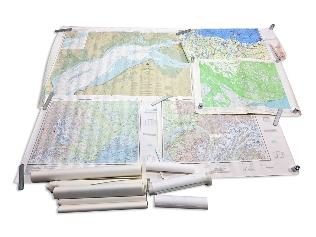
#427 • Approximately 18 Alaska Maps: NOAA Cook Inlet, USGS Anchorage & Kenai, North Slope
Part of November 2026 Fantastic Finds Auction (timed auction by Alaska Premier Auctions & Appraisals)
Starting at $5.00
Status: Available
Bidding closes Nov 15, 2026 6:23 PM AKST
Category: Maps
Approximately eighteen Alaska topographic, geographic, and survey maps span Cook Inlet, Anchorage, the Kenai region, and North Slope oil-and-gas country. Highlights include NOAA's Cook Inlet: East Foreland to Anchorage chart at 1:100,000 scale, a USGS Kenai D-5 topographic sheet at 1:63,360, and an Anchorage USGS map bearing a 1962 date with a 1985 limited revision. The group also includes a North Slope oil-and-gas map covering the Prudhoe Bay and Mikkelsen Bay area, additional Kenai mapping, and other regional sheets. One map is laminated; the others are paper. The large Cook Inlet chart measures approximately 48" wide x 34.5" tall.